Thor Temple
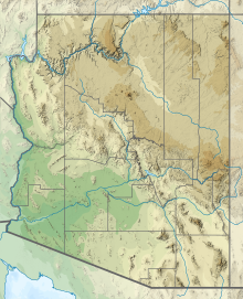
Landform in the Grand Canyon, ArizonaThor Temple is a 6,741-foot (2,055 m)-elevation summit located in the Grand Canyon, in Coconino County of northern Arizona, United States. It is situated 2.5 miles (4.0 km) west-northwest of Cape Royal on the canyon's North Rim, 3.5 miles (5.6 km) east of Brahma Temple, and 2 miles (3.2 km) north-northwest of Wotans Throne. It rises 4,300 feet (1,300 m) above the Colorado River in 5 miles (8.0 km). According to the Köppen climate classification system, Thor Temple is located in a cold semi-arid climate zone.
Read article
Top Questions
AI generatedMore questions
Nearby Places

Kaibab Plateau
Landform in Arizona and Utah, United States

Cape Final Trail
Grand Canyon hiking trail

Cape Royal Trail
Grand Canyon hiking trail

Wotans Throne
Landform in the Grand Canyon, Arizona

Angels Gate
Landform in the Grand Canyon, Arizona

Deva Temple
Landform in the Grand Canyon, Arizona

The Howlands Butte
Summit in Coconino County, Arizona

Freya Castle
Landform in the Grand Canyon, Arizona


